LP360 gives you the ability to create and manipulate
point cloud data directly from industry standard LAS format fles without
any time-consuming importing or converting processes.
Point cloud analysis tool
The World’s Most Powerful GIS Environment for LIDAR and Photogrammetric Point Cloud Processing

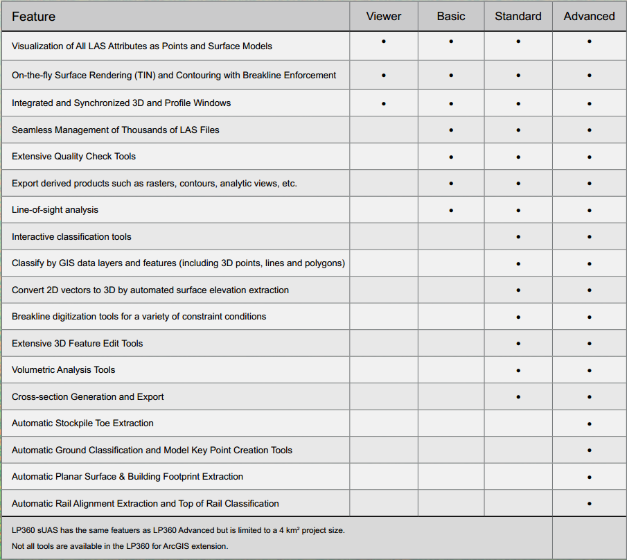
- Powerful Visualization
- Extensive Quality Check Tools
- Interactive Classification
- Volumetric Analysis
- Automatic Ground Classification
- Specialty Tools
- Export Products
- Breakline Collection/Enforcement


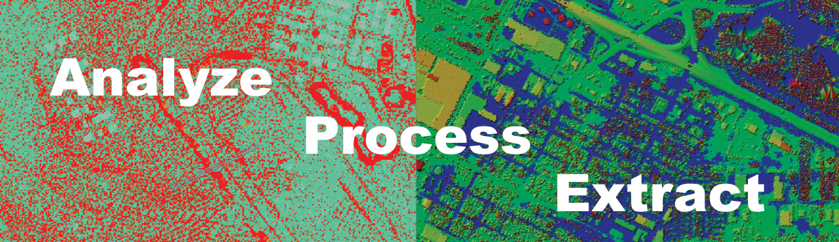
3D High Performance Point Cloud Processing for the Most Informed Analytic Workflows
What can LP360 do