The GeoSys Hong Kong Limited is an innovative geospatial technology company providing Geographic Information System, BIM, Indoor and Outdoor Scanning System, Satellite and UAV remote sensing technology research, development, applications and services in Hong Kong.
We have successfully completed several government-funded projects in mapping, scanning, and surveying, and now is able to digitize platform with multiple functions in a more efficient way.
Who We Are
Our Main Services
Surveying & 3D Mapping
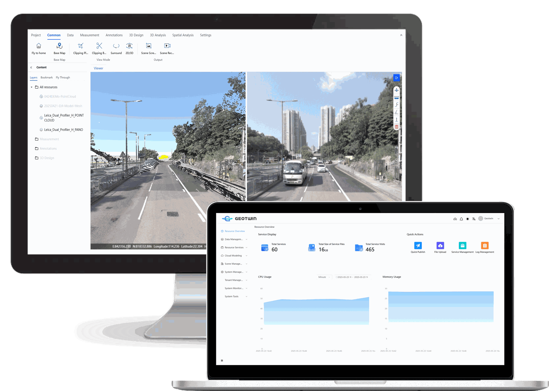
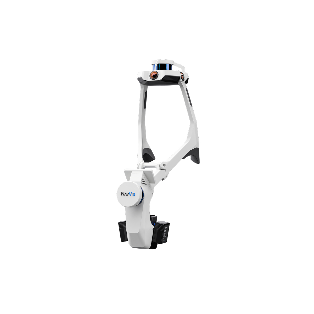
Mobile Scanning
GIS Development
What we do
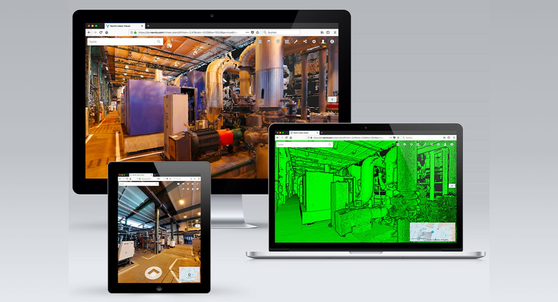
Indoor mobile VR and laser scanning and web server platform for visualizing true color point cloud overlay with 720 panoramic images.
We are now focusing more on the web development, which all kinds of 3D and 2D data can be stored in our web platform as well as powerful 3D measurement and analysis are provided in our self-developed system, such as volume calculation and cut section analysis.
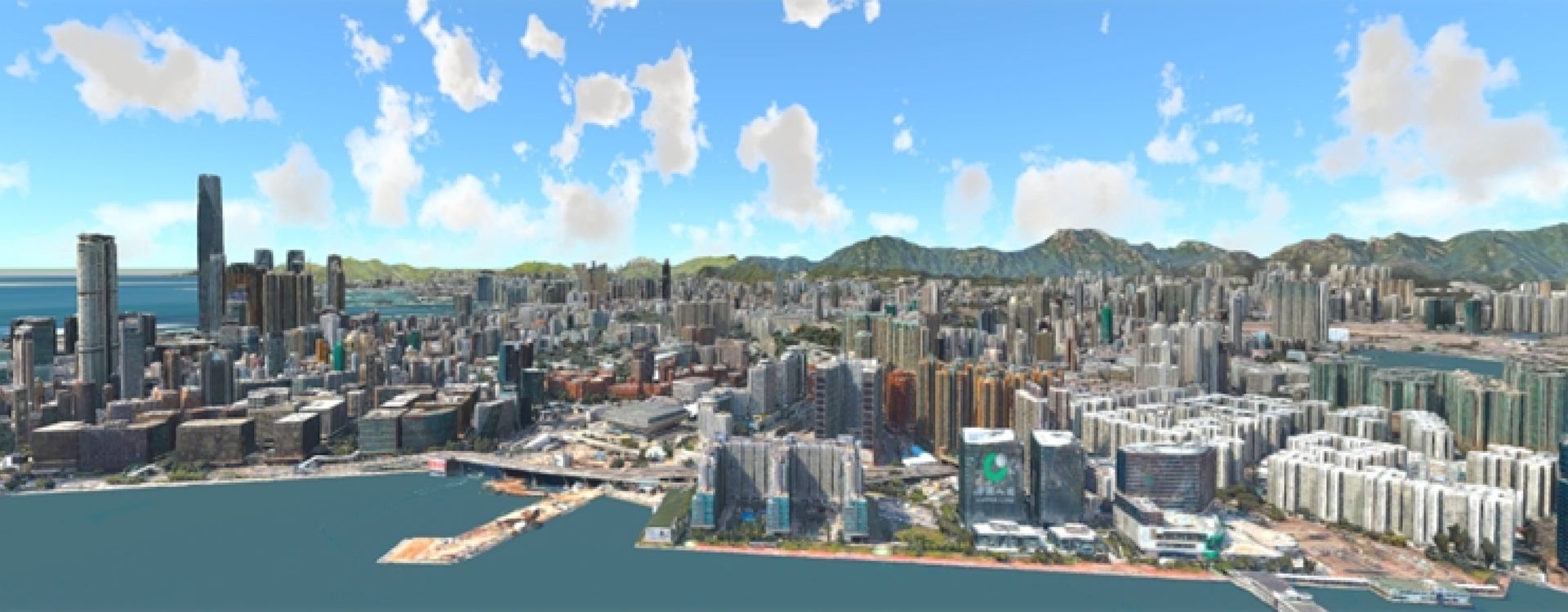
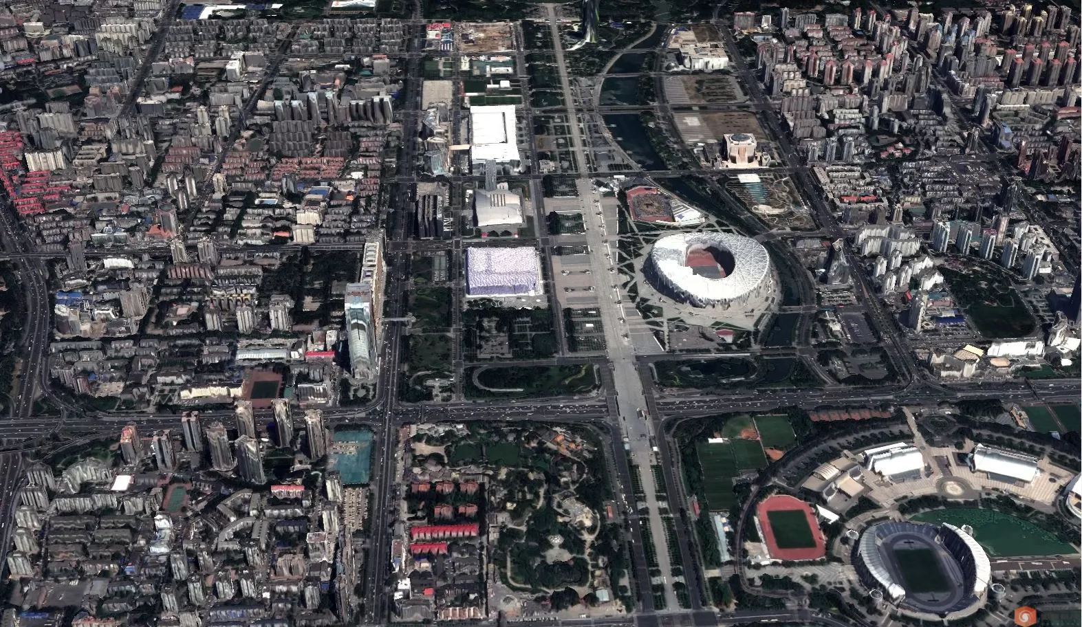
Our diverse experience has built a strong understanding in all of the international smart city mapping standards and conventions, including CityGML, HTML5, WebGL and others.
Our flagship 3D visualization package and VR cloud are specifically designed to display complex smart city models and perform various 3D analysis based on the 3D models.
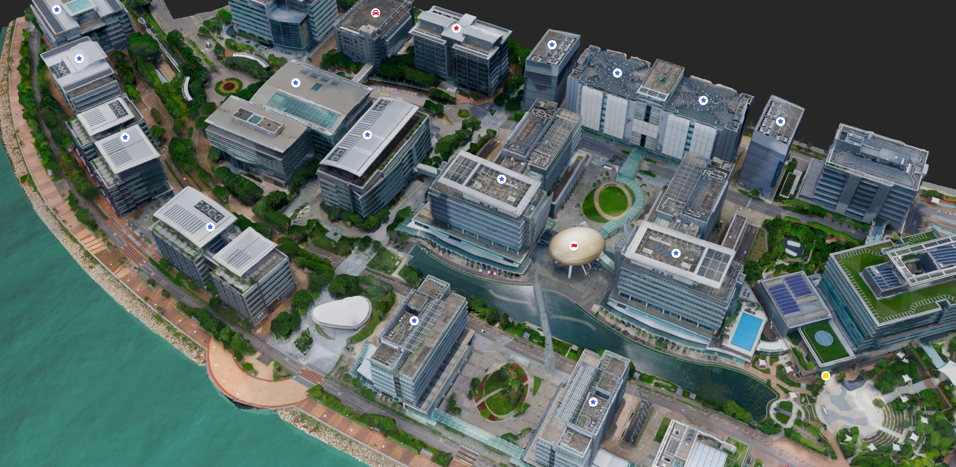
We create urban models for smart city development
We create BIMs from existing plans or bespoke survey data. Adding services, attributes and functionality to create smart building. Our visualization capability extends from entire states to inside the buildings and even underground.
What We Have
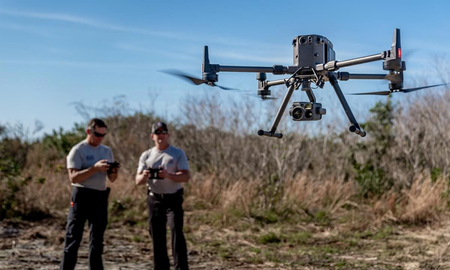
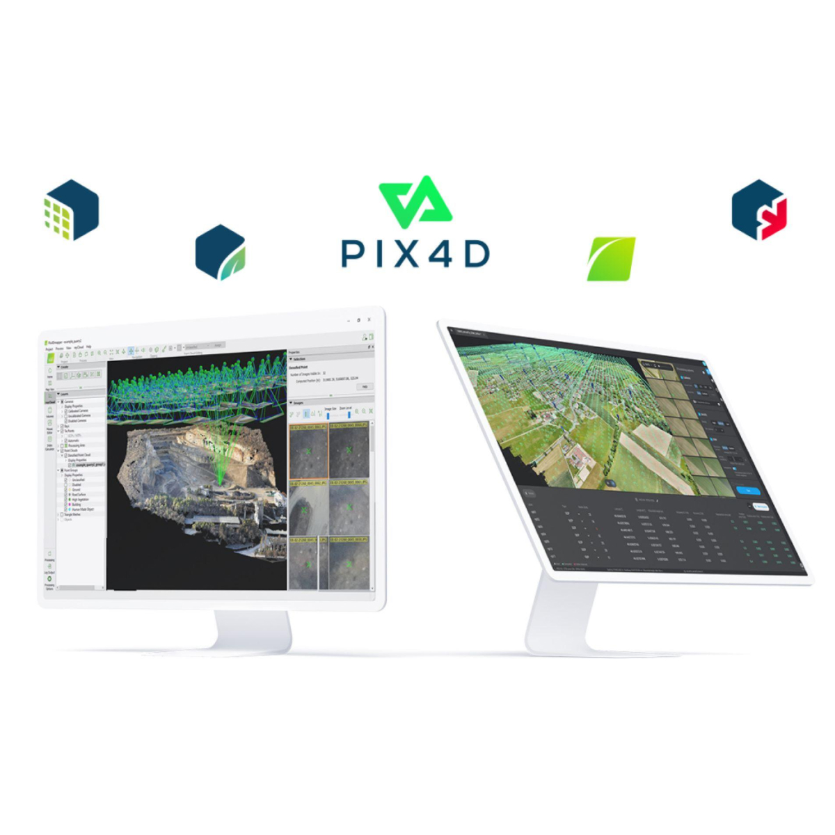
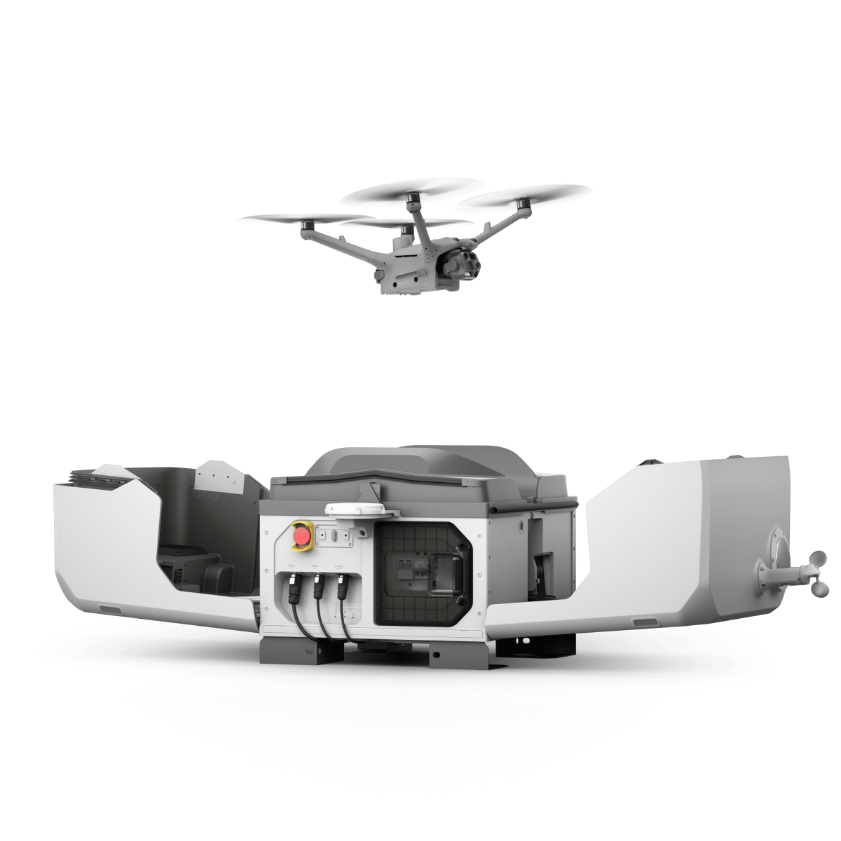
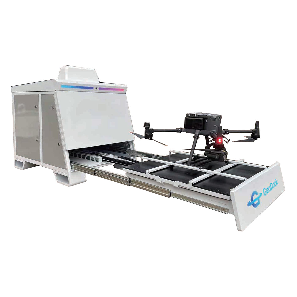
UAV Surveying
We utilizes drones to capture high-resolution aerial imagery, providing detailed and accurate geospatial data for various applications.
GIS Software Development
Expert GIS development services to transform your spatial data into actionable insights.
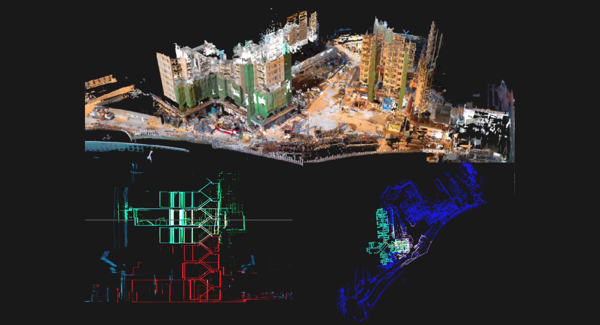
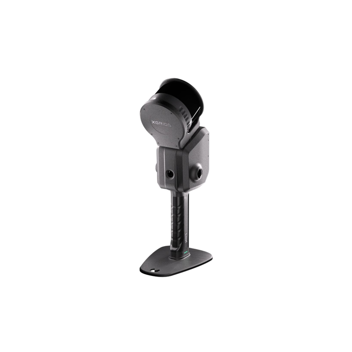
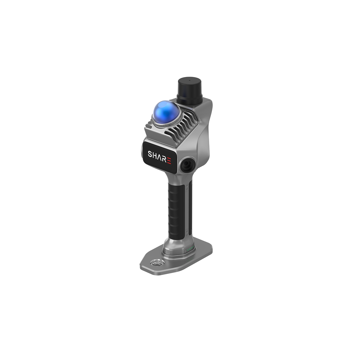
LiDAR Surveying
Advanced laser technology, whether mounted on vehicles, backpacks, or handheld devices, swiftly captures precise 3D spatial data for diverse surveying and mapping applications.

Solutions
Smart City
A smart city integrates data from various urban fields to build an intelligent decision-making and collaborative operation system, promoting refined urban governance, innovative industrial development, and convenient life services.
Smart Transportation
Smart transportation integrates IoT, AI, and big data to digitize and automate traffic systems, optimizing flow, reducing congestion, and enhancing safety.
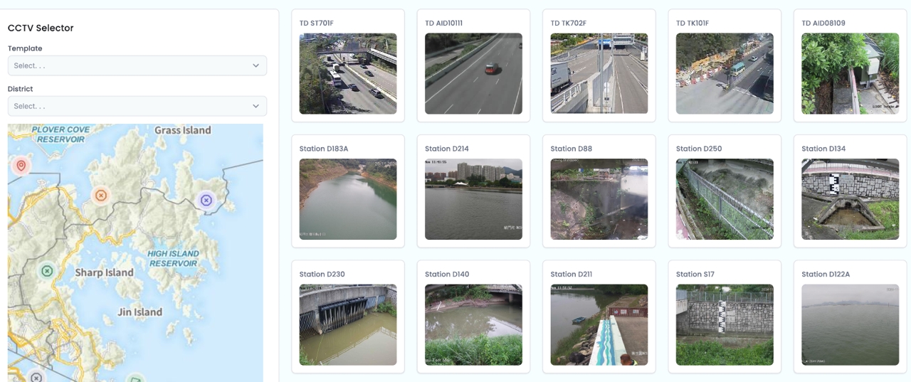
Smart Environmental Monitoring
Smart environmental monitoring uses sensors and data analysis to track environmental factors such as air quality, noise levels, and water quality in real time. It provides essential data to improve environmental conditions, support sustainable development, and ensure public health and ecological balance.
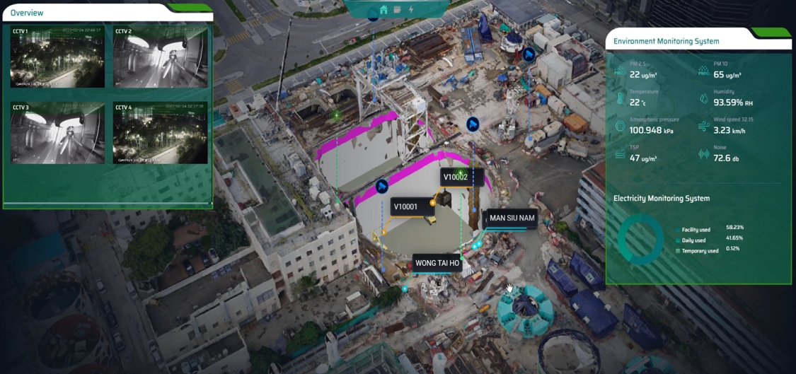
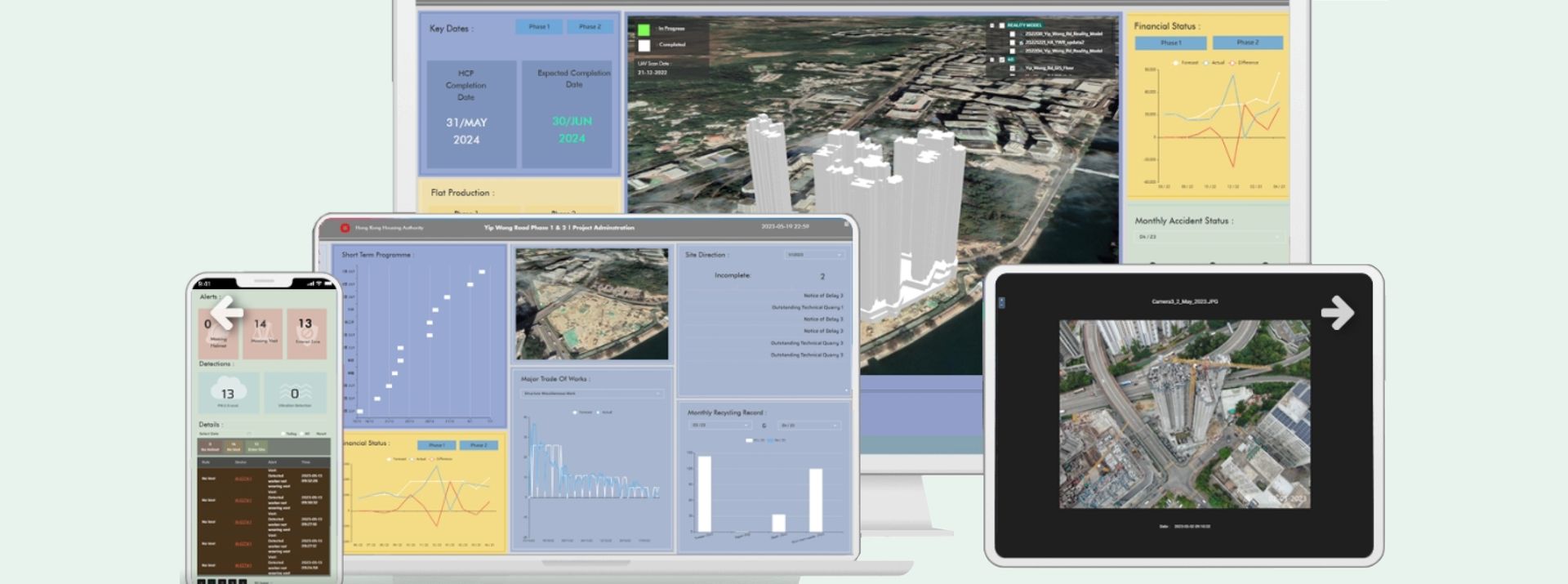
Smart Construction Sites
Smart construction refers to the application of advanced technologies and digital tools to enhance on-site management in construction projects, aiming to improve efficiency and safety. Through real-time monitoring, data analytics, and resource management, smart construction sites can optimize project schedules, track personnel and equipment usage, and ensure compliance and safety—thus reducing costs, minimizing risks, and promoting a more efficient and sustainable construction industry.
Smart Water Management
Smart water management leverages advanced technologies and data analytics to monitor and optimize the management and distribution of water resources in real time. Through intelligent sensors, IoT devices, and integrated data platforms, it enables effective water quality monitoring, leak detection, supply network management, and water usage analysis—improving water efficiency, ensuring water security, and supporting sustainable development. It facilitates the smart transformation of urban water resource management.
Rencent Post
Our Clients
Partners