Our Services
Geosys stands as an early adopter and investor in laser scanning, 3D modeling, and building information modeling(BIM), ensuring a solid foundation for the success of your projects.
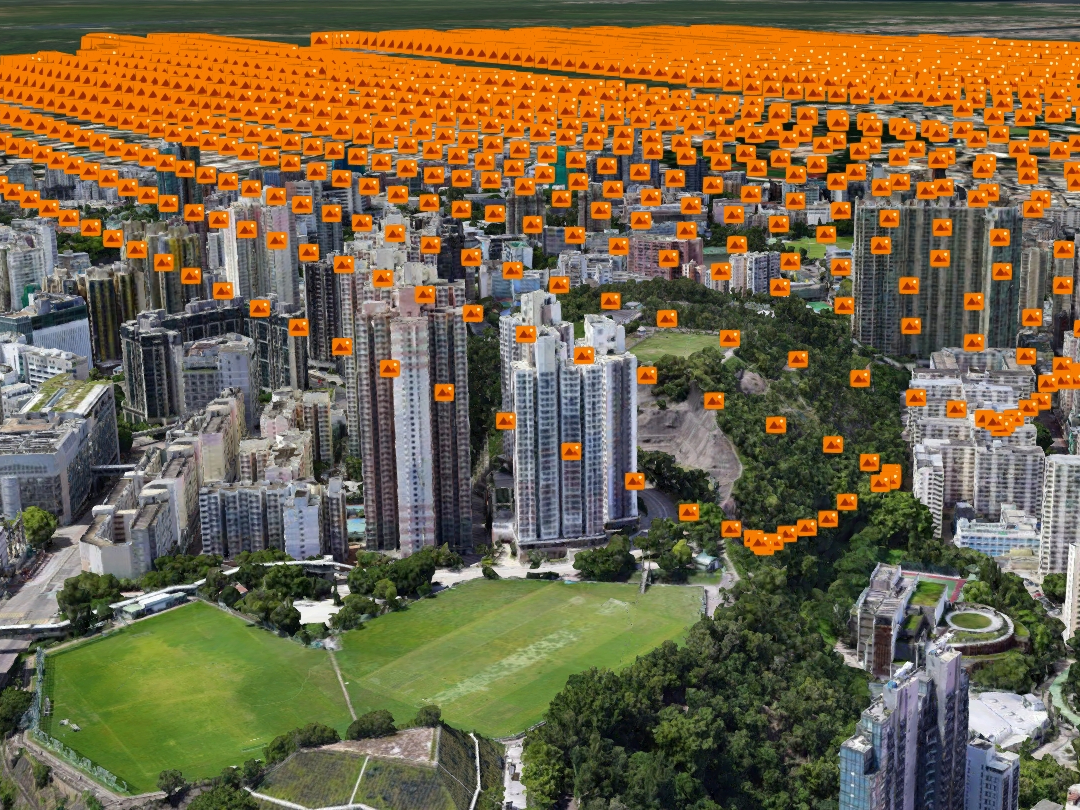
By leveraging these advanced technologies, we accurately survey the current state of the built environment, enabling enhanced design, construction, and management processes. Utilizing cutting-edge 3D scanners and LiDAR scanning, we produce precise 3D models and BIM models to seamlessly support the 3D design workflow.
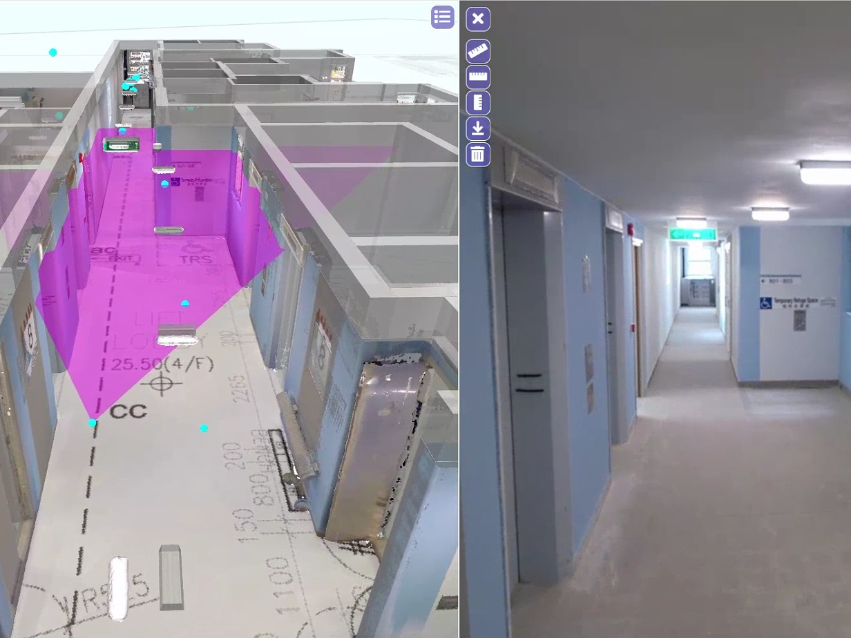
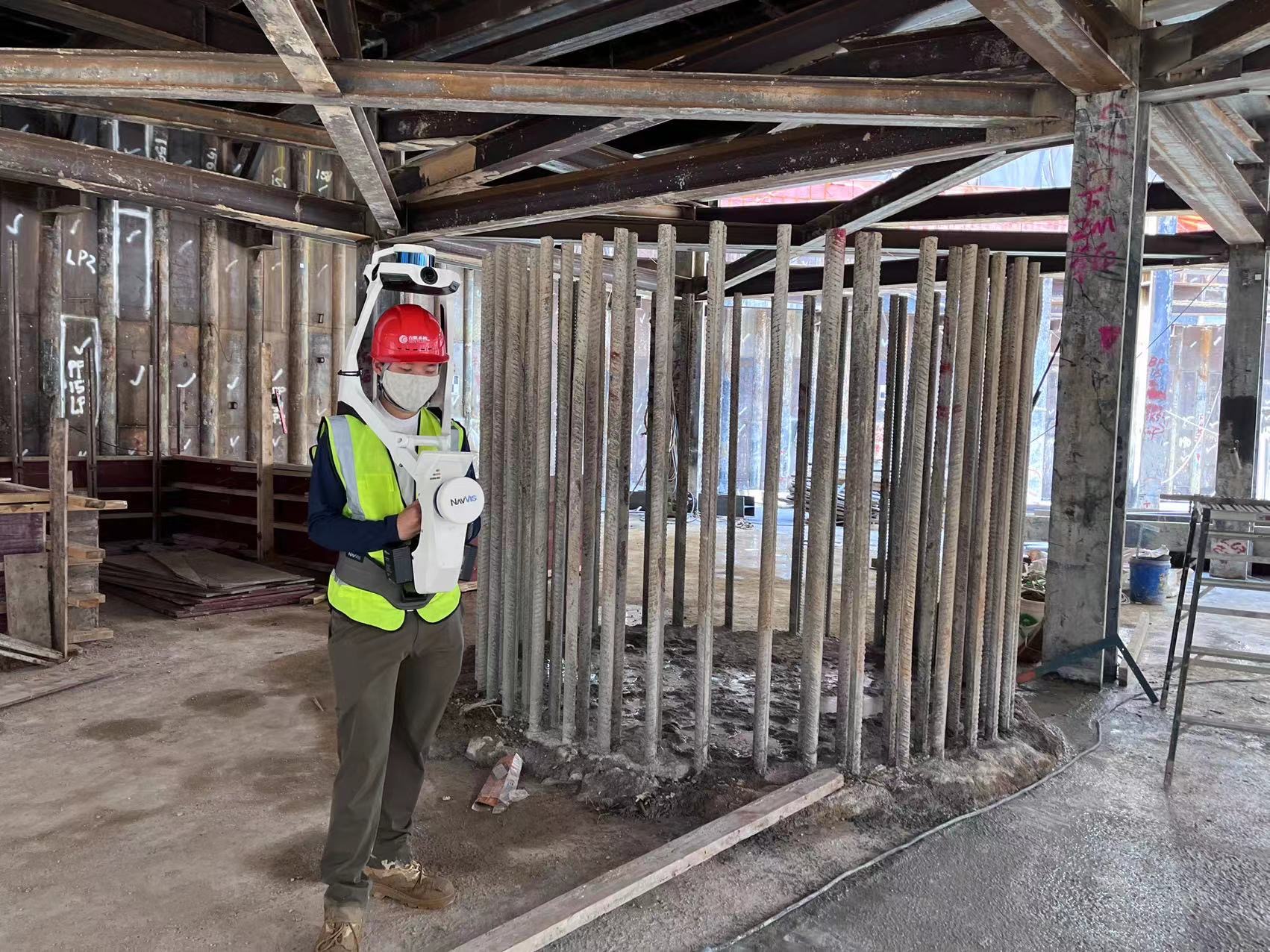
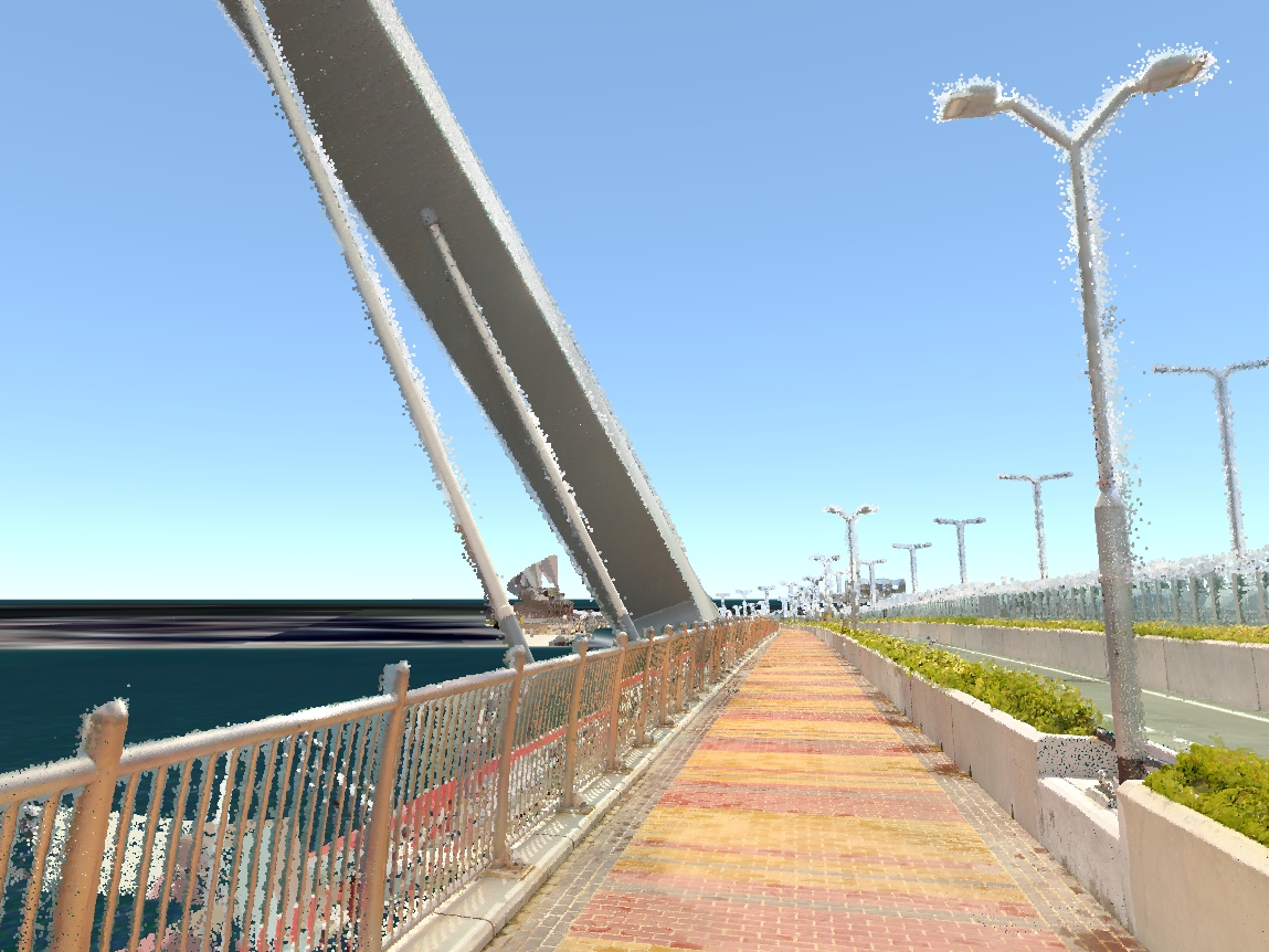
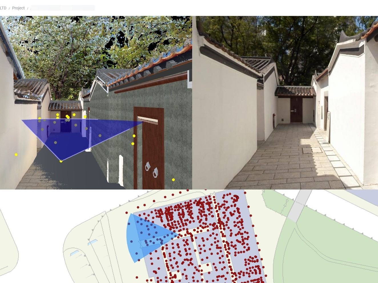
Our expertise in mobile laser scanning allows us to deliver comprehensive insights through point cloud data, reflecting a highly accurate representation of your project.
When you partner with Geosys, you gain access to high-quality data and services from an industry leader committed to excellence in laser scanning, 3D modeling, and BIM solutions.
Laser Scanning Services
High-accuracy mobile laser scanning for detailed 3D data capture. Scanning of buildings, infrastructure, and landscapes for as-built documentation and analysis.

3D Modeling
Creation of precise 3D models for architectural designs, structural assessments, and urban planning.
Integration of scanned data into GIS platforms for seamless project development.

BIM Products and Solutions
Conversion of point cloud data into BIM models for renovation or retrofitting projects.
Related Case Studies
We make every moment count with solutions designed just for you.
Infrastructure Projects
Accurate mapping and analysis for roads, bridges, and utilities.
Architecture & Construction
Detailed models for design, planning, and verification.
Heritage Preservation
3D documentation of historical sites for restoration and preservation.
Industrial Facilities
Precise scanning and modeling for plant layouts and asset management.