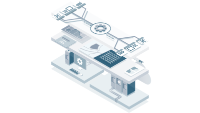
What is PIX4Dengine?
PIX4Dengine is a deployable SDK (Software Development Kit) for local or cloud environments.
Beyond containing all Pix4Dmapper functionalities, it enables enterprises to customize and automate large-scale batch processing according to their specific needs.
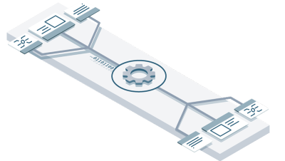
Custom workflows to build your competitive edge
Integrate Pix4Dengine into your automated workflows or customized platforms

Custom workflows
From image processing to data analysis, users can fully customize the processing pipeline.
For example: Define custom input/output paths, automatically clip processing areas, and perform aerial triangulation quality checks before dense point cloud generation begins.

Seamless Integration
Incorporate Pix4Dengine into your existing systems to streamline workflows and gain a competitive edge.

Scalable
Automate time-consuming and repetitive tasks with Pix4Dengine to process large datasets that may strain hardware and budgets.
Whether handling small projects, large-scale operations, or multiple projects simultaneously, Pix4Dengine adapts to your growing business needs.
Designed for developers, trusted by enterprises
Use the right tools to turn your ideas into reality.
Connect your modeling workflows and applications with imagery from any device—whether drones, crane cameras, or handheld cameras.
Precisely build and customize to your business needs.
Limitless customization—connect any desired output to your workflow, integrate with other Pix4Dengine modules, or incorporate your own code and third-party applications.
Programmatically controlled processing workflows.
Utilize our powerful programming interface to manage data processing.
Adjust algorithm parameters, build custom logic, and extend your workflows to significantly reduce manual oversight costs.
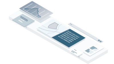
Streamline data management for greater efficiency
Store data where you need it: locally or in the cloud.
Control data access, perform automated quality assessments, or forward processed outputs to users.

The Future of Precision: AutoGCPs
The new AutoGCPs module automatically detects ground control points (GCPs) in projects. By combining machine learning and computer vision, it pinpoints GCP centers with pixel-level accuracy in near real-time.
AutoGCP recognizes three marker types: squares, diagonals, and Aeropoints.
Available exclusively for Pix4Dengine SDK users. Contact us for details.