Data Acquisition
Capture required imagery using drones. Select the Pix4Dcapture mobile flight planning app to design optimal automated routes for your DJI or Parrot series drones.

Processing
Complete stitching of large volumes of aerial imagery in minutes. Create measurable maps whether in the field or office.
*Results and speed may vary depending on image size and quantity.
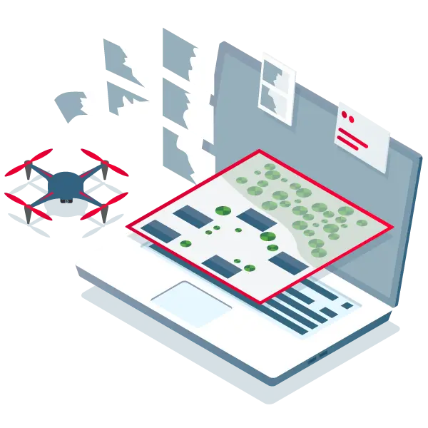
Analysis
Use simple tools to identify and measure points of interest, mark and evaluate maps, providing robust data support for next steps.

Share
Export maps to ensure effective intelligence is delivered to teams and decision-makers when it's needed most.
Response
Leverage the latest maps to adapt to changing conditions, gain valuable time, enhance safety, and reduce costs.
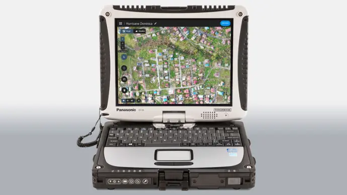
Pix4Dreact Fast Mosaic Software
Gain rapid and reliable situational awareness for quick decision-making and collaboration on-site

Fast
Complete aerial image stitching in minutes. Provides up-to-date and reliable information for on-site teams during critical moments.

Easy to use
Simple and intuitive, even in urgent and complex situations. Pix4Dreact was developed in collaboration with public safety and humanitarian aid professionals to address their unique challenges.

Lightweight and stable
Pix4Dreact runs on average-performance computers and processes data without requiring an internet connection.
Reliable situational awareness in complex scenarios
Intuitive workflow
Pix4Dreact is designed to be user-friendly, even for those without drone flying or photogrammetry experience.
In complex and rapidly changing environments, any emergency response personnel can create, save, and share maps.
Record, annotate, and compare maps
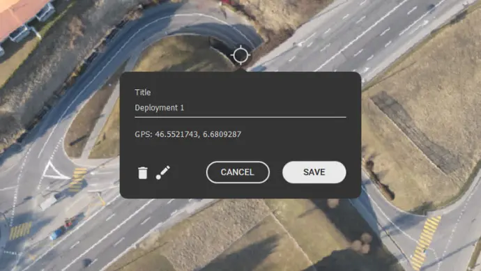
Use Pix4Dreact to link maps with ground observations, derive rapid and powerful insights from field data, and easily mark and measure points of interest.
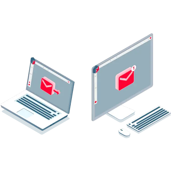
Rapid sharing
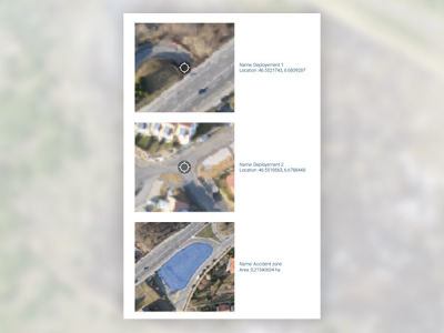
Display orthomosaic maps and annotations in PDF reports, then easily share via social apps or email.
You can also export individual aerial images of specific areas of interest.
Tailored solution

Pix4Dreact is a standalone rapid mapping software specifically designed for emergency response. It can be used independently or paired with Pix4Dmapper, the industry-leading drone photogrammetry software for survey-grade 3D reconstruction tasks.
Maps at your fingertips when urgently needed
Ensure timely and effective information is delivered to teams and decision-makers for immediate action
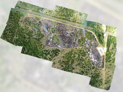
Orthomosaic Maps
Pix4Dreact employs rapid stitching technology to create precise orthomosaic maps from large volumes of drone imagery.
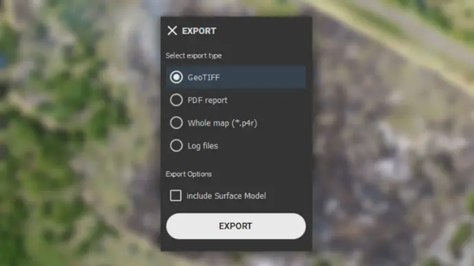
Export formats available:
geoTIFF
Marking and Measuring
Label and measure areas of interest
Export formats available:pdf
PDF Report
Display orthomosaic maps, location data, and annotations in PDF files for easy sharing via social apps or email
Export formats available:pdf

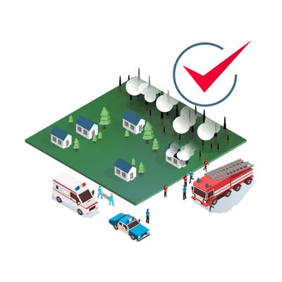
Delivering aerial intelligence to ground responders
Pix4Dreact was developed with emergency responders to provide public safety and humanitarian aid experts with superior rapid mapping software
Earthquakes
Floods
Fires
Search and rescue operations
Law enforcement
Personnel evacuations