Smart3D LiDARPro
Smart3D LiDARPro 3D geographic entity modeling software
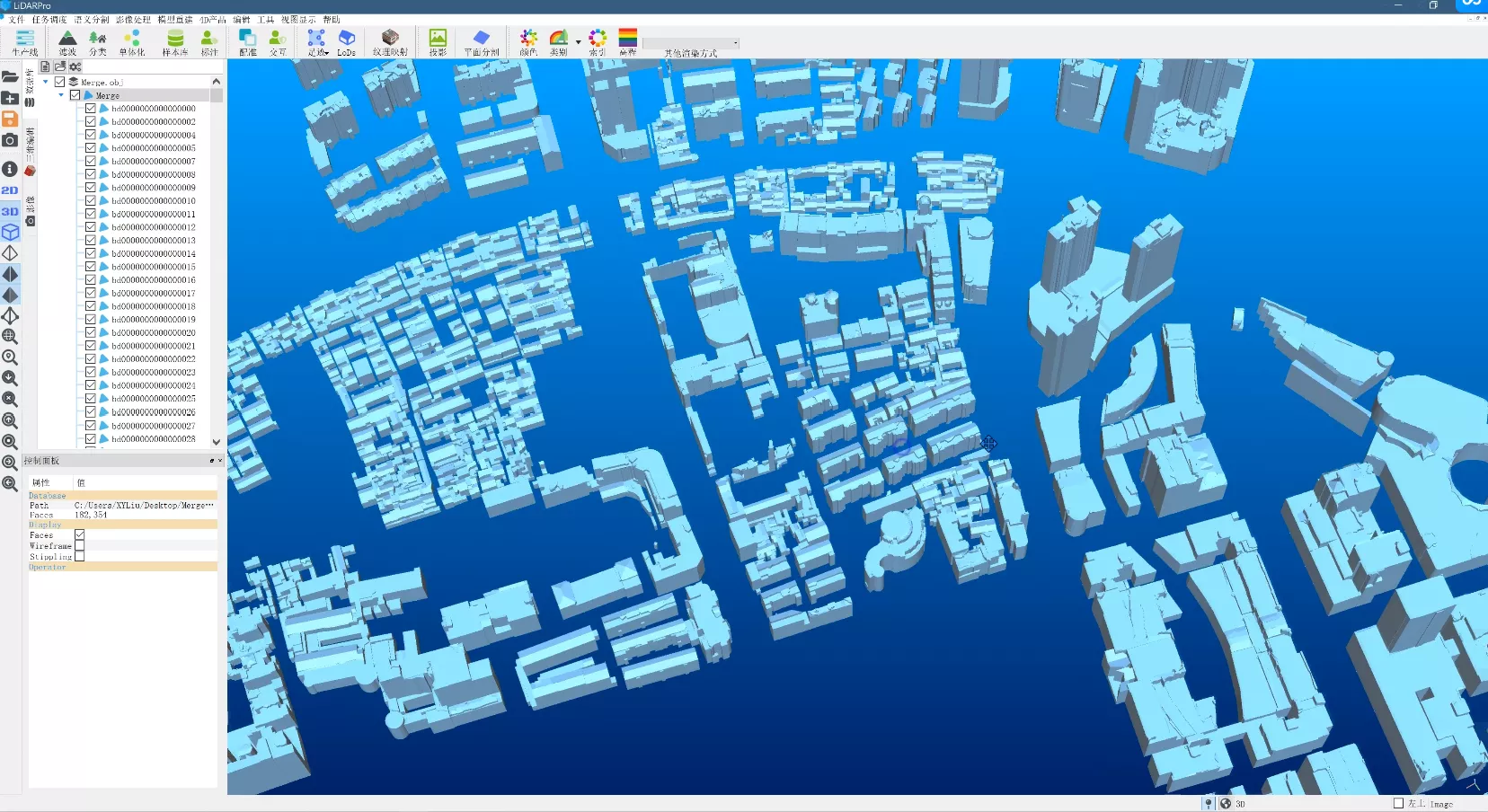
LiDARPro is a modeling software that automatically builds 3D geographic entities based on data sources such as point cloud (laser point cloud data, satellite remote sensing and aerial image dense matching point cloud), image (satellite remote sensing and aerial image), and Mesh model.
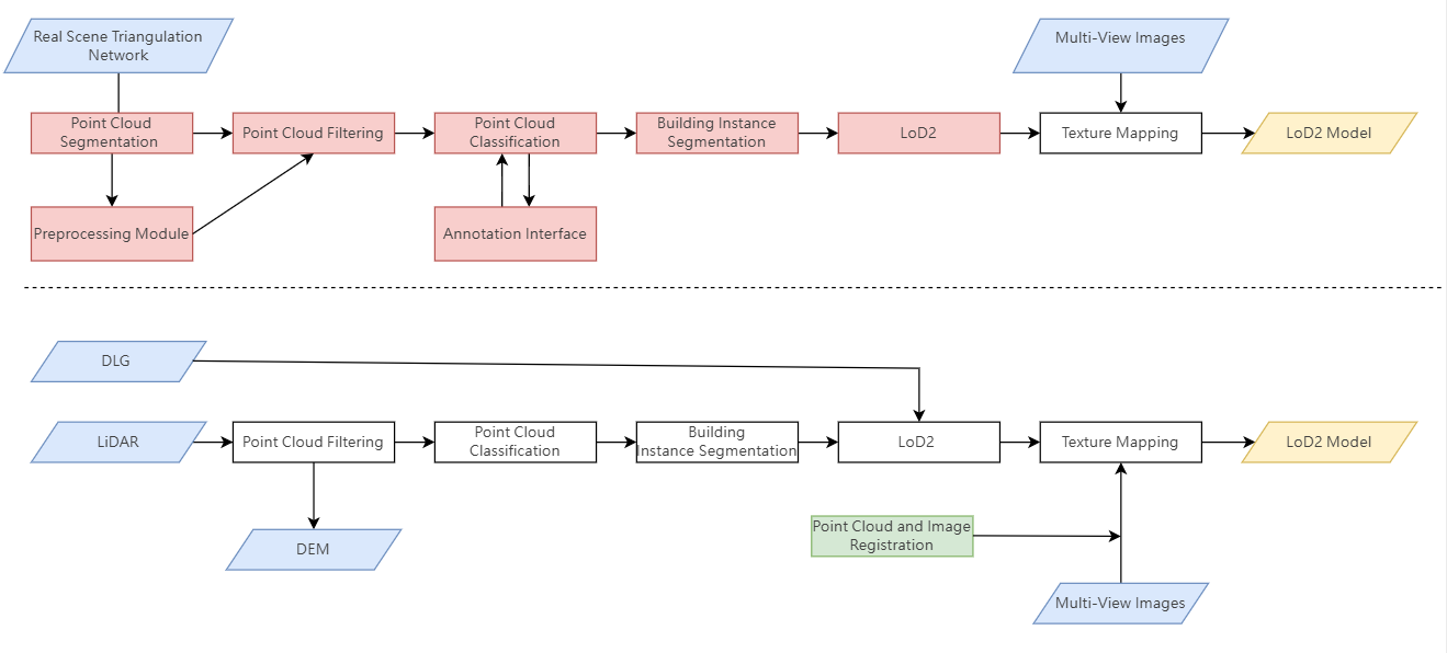
Instance segmentation and feature extraction
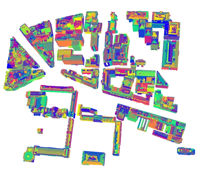
Based on the 3D mesh model or LiDAR point cloud classification results, perform building instance segmentation to provide monomer data for entity modeling
Extract plane primitives based on 3D data and extract 3D lines based on 2D images to provide initial geometric feature primitive input for entity modeling
Single body segmentation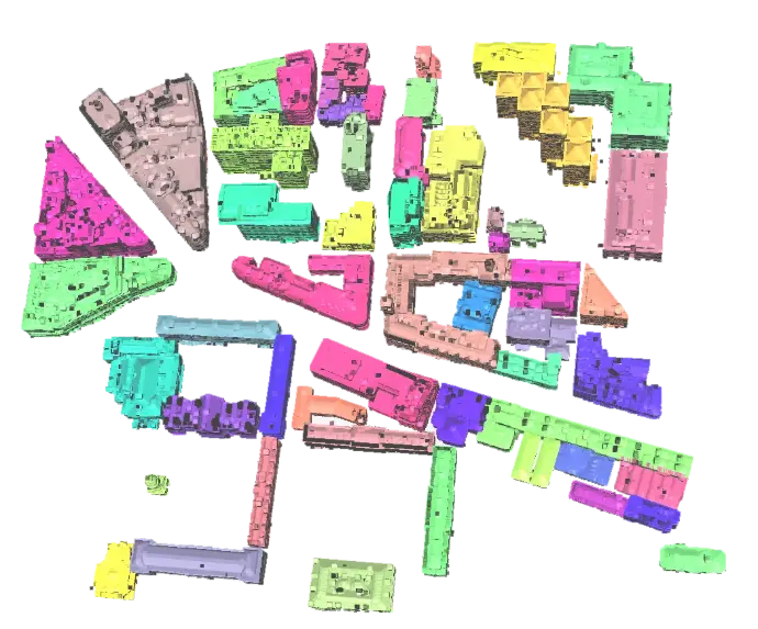
Plane primitive segmentation
Line extraction
