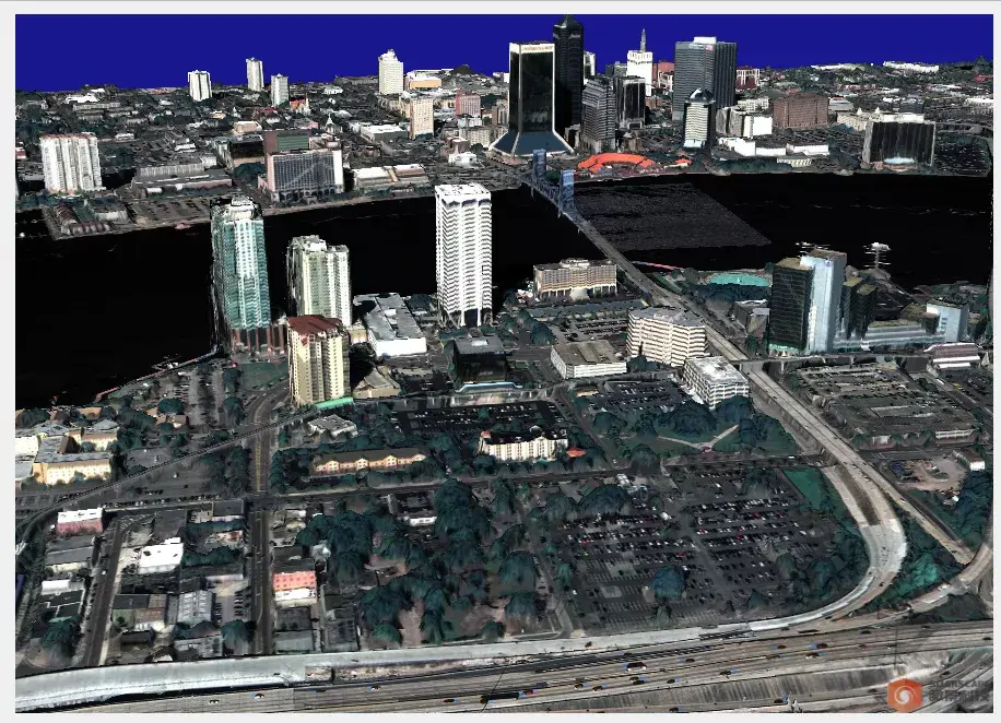
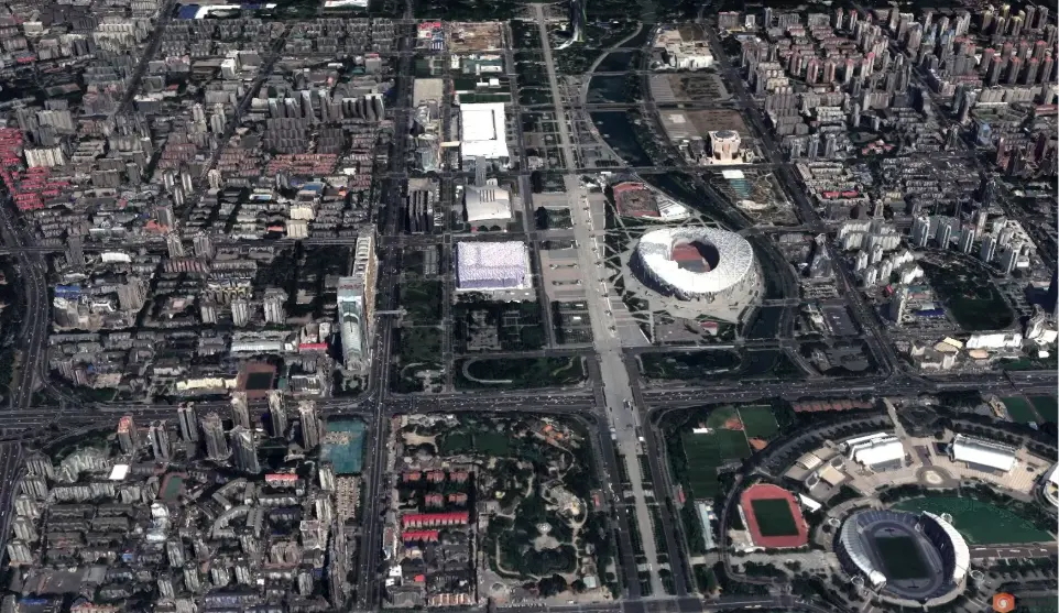
Smart3D Satellite image real scene
3D modeling software
Product Features
Smart3D Sat satellite image modeling software can reconstruct multi-view stereo images in three dimensions and map textures to build real three-dimensional scene models. The software has the following features:
- Fully automated workflow mode and efficient processing capabilities produce high-precision satellite real-scene three-dimensional models;
- Use self-developed highly robust image dense matching algorithm to produce dense point clouds with higher precision and high resolution;
- Use image-guided high-precision point cloud fusion algorithm to achieve more complete building edges;
- Use classification interpolation technology to ensure more refined terrain in mountainous areas with large slopes;
- Full scene fine structure, more natural mapping, and the overall quality of the model exceeds the level of foreign software.
Functional advantages
Supports various data sources (high-resolution satellite images that can form stereo pairs).
- Realizes real-life 3D reconstruction of multi-view satellite images and enables process management of satellite data processing, mainly including: image correction, regional network adjustment, image fusion, image pair selection, dense matching, mesh construction, and texture mapping.
- One-click modeling has a high degree of automation and is easy to operate.
High model quality and rich results (DOM/DSM/LAS/OBJ/OSGB/3Dtile, etc.).