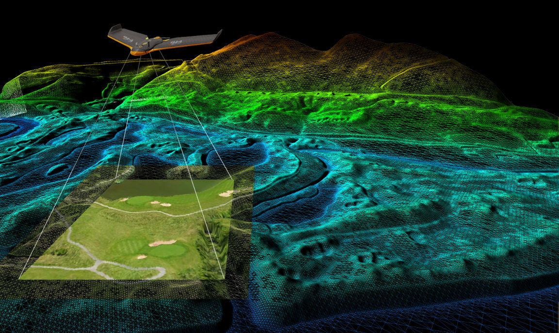
Geosys has been providing professional quality aerial imaging and survey mapping services for over 5 years. Attention to detail and outstanding customer service are the cornerstones of our company. We have been industry leaders in 3D survey work, aerial photos and 3D aerial modeling since 2013.
UAV Mapping
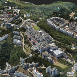
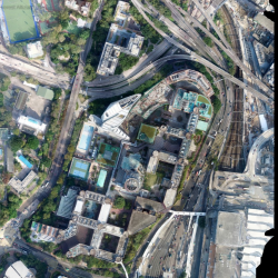
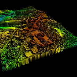
– DOM, TIF Format;
– DSM, TIF Format;
– DTM, TIF Format;
– 3D Mesh Model, OSGB Format;
– Grid Model, OBJ Format;

GIS Service
The GIS services from Geosys allow for the visualization of geographic data, analysis of spatial relationships, and efficient data management, allow data from different sources to be merged in one platform, which allows for easy access, analysis and utilization. Our GIS applications allow users to analyze spatial information and display it in myriad ways to enhance location intelligence. And now covering the field of engineering, planning, management, transport/logistics, insurance, telecommunications, or other business.
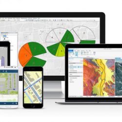
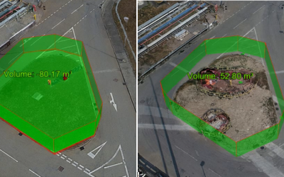
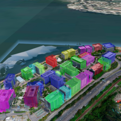
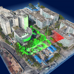
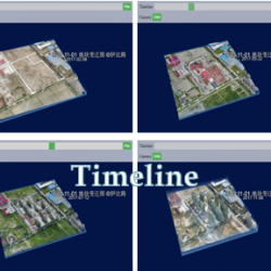
– 3D measurement: volume, path, height, area, angle
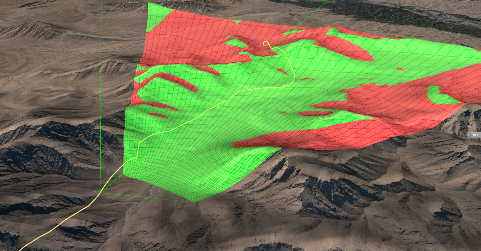
– 3D analysis: sightline, viewshed, photo montage, shadow and sunlight, flooding
– location searching and enquiry
– fly through animation
– compare with models in different period.

Laser Scanning
Geosys has been conducting a number of laser scanning projects providing professional mobile mapping services for different clients in different industries. Two major laser scanning techniques are taken into consideration when conducting a practical scanning project, which is beneficial to rapidly collect enormous amounts of highly accurate and valuable point cloud data to transform it into an information-rich 3D model.
On the one hand, mobile laser scanner such as a hand-held mobile scanner and a vehicle-mounted mobile scanner is able to rapidly collect features from the environment when the scanner is moving. On the other hand, the stationary scanner offers a high-speed, straightforward method to accurately collect highly dense point cloud data of complex objects and buildings.
With the help of these techniques, the follow-up work such as planning and design, measuring and maintaining modern infrastructure could become more effective.
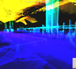
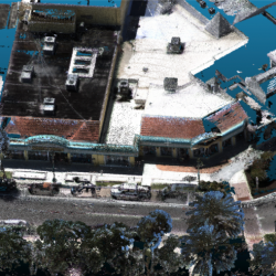
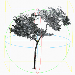
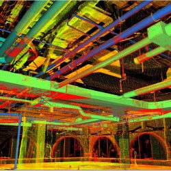
– Registered & colorized point clouds in varying formats (i.e. ptx, pts, las, E57)
– Orthophotos
– Panoramic fly-through / 3D Project animation
– As-built 2D drawings
– Digital Elevation models
– 3D pipeline and facility models
– 3D As-built BIM Models (i.e. Architectural & MEP)
– Project simulation (Scheduling)
– Web collaboration & visualization
Land Surveying
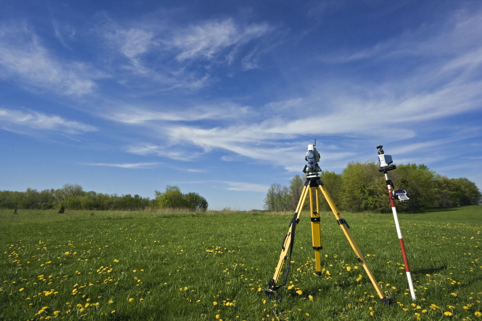
We have a land survey team leaded registered land surveyor, providing professional services in Hong Kong and Macau, mainly including topographical survey, boundary survey, sitting out survey and site monitoring.
Integrating our high-quality instruments and professional staff, our land survey services can be an efficient solution to every project. If you need a professional land surveyor, then look no further.
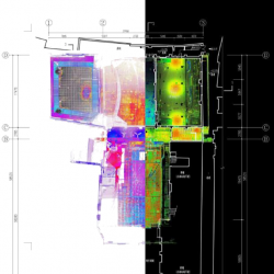
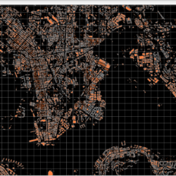
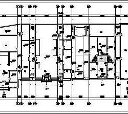
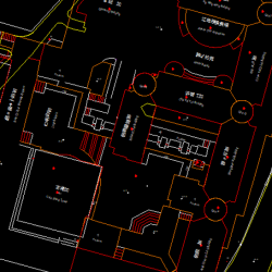
– Drawing in DWG or DGN format;
– Survey Report Authorized by Professional Land Surveyor

