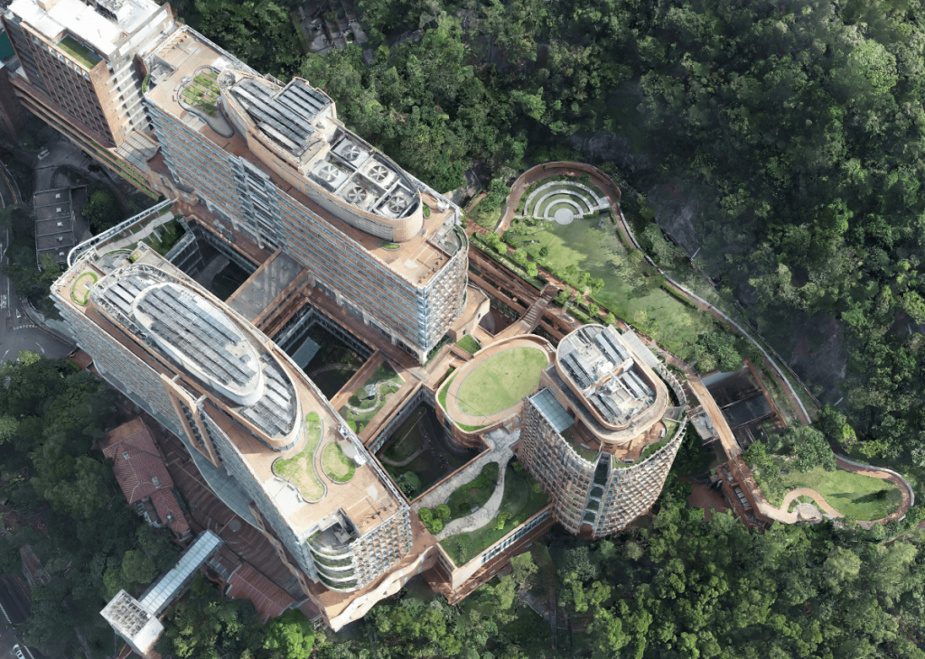
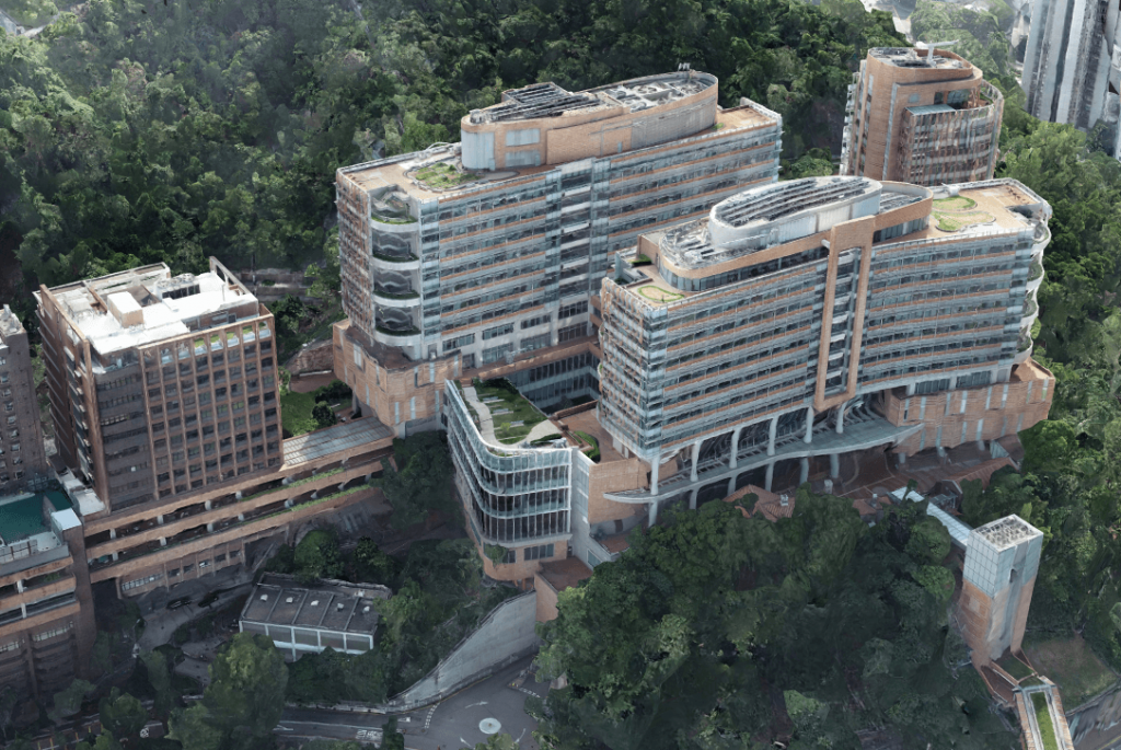
In October 2018, GeoSys Hong Kong Limited successfully applied for the permission of both CAD data and FMO of the University of Hong Kong to conduct the 3D campus modeling.
The image capture stage consisted of several tasks, due to the complex environment and rich building features. Individual grid path can barely capture the detail of buildings; therefore, the pilot flew a combination of grid missions and point of interest flights, obtaining a total of 1506 images.
After attempting a number of drone-oriented 3D modeling solution, Altizure, the powerful web-based platform for realistic 3D modeling, came out of the top because of its flexibility, reliability, rapid processing. More than 1500 photos were used to 3D reconstruct the campus with high accuracy, allowing for better and more detailed analysis.


