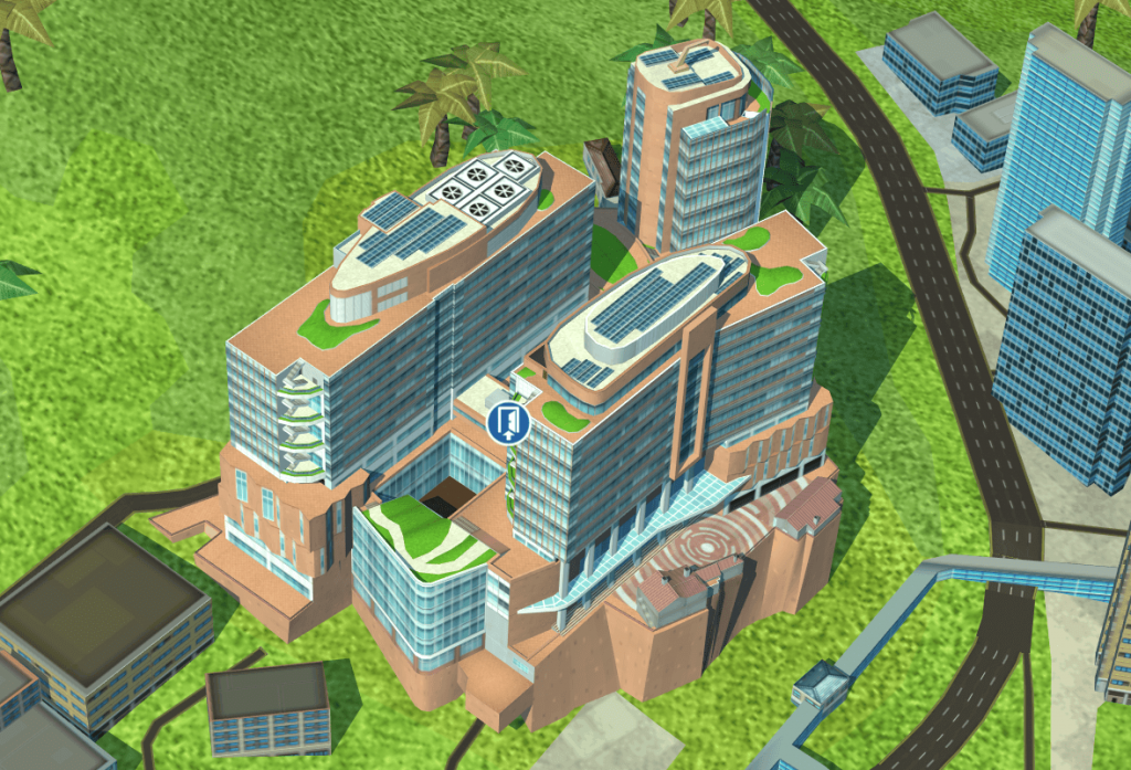
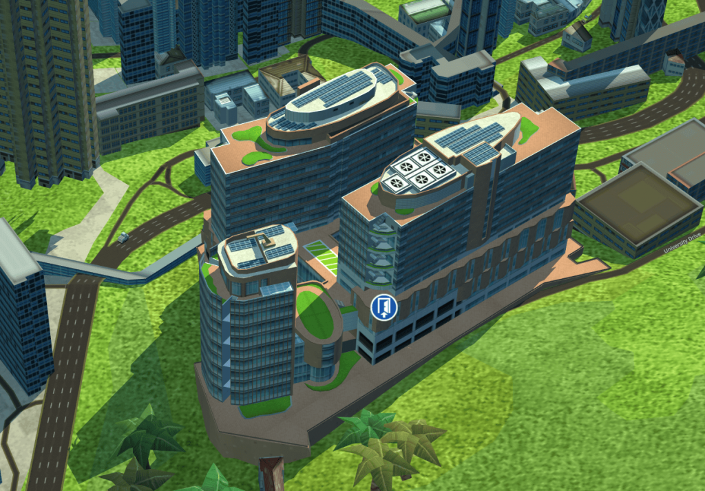
To establish a smart campus navigation system, Geosys team cooperating with a developer team from University from Hong Kong spent a couple of months making a great effort to build an interactive 3D map of the college and develop a 3D indoor and outdoor navigation system based on the 3D map.


the exterior result of HKU
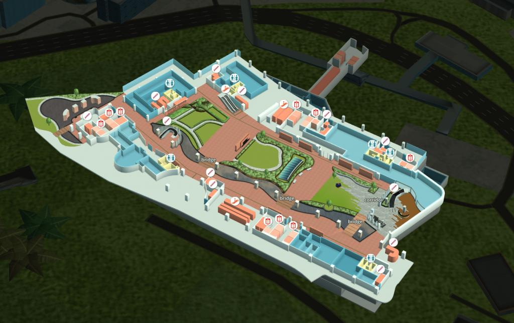
The system is able to simulate the dynamic and real environment for users to route and navigate around the college instead of using the traditional paper map to figure out where am I and how I go to the destination. It is absolutely a time-saving, easy-operating and eye-catching system that it assists people to have a better understanding of what indoor navigation technology can bring us as well as an immersive experience to make teachers and students’ work more convenient. Users could rapidly locate themselves and find the shortest path to the destination even between different floors. And it is possible to discover facilities nearby as a result of a number of POI data embedded in the system.

the interior layout of the university
Furthermore, the system is not only limited to indoor & outdoor routing but also have a powerful feature that it is more likely to integrate with other existing well-developing systems such as facility booking system, access control and classroom management system based on the Smart Card technology to definitely maximize the functions and applications of the 3D navigation system.


